Cape Horn: Location, Climate and Maritime History
Cape Horn: Location, Climate and Maritime History Explore evidence-based facts, context and common misconceptions.
Cape Horn: Location, Climate and Maritime History
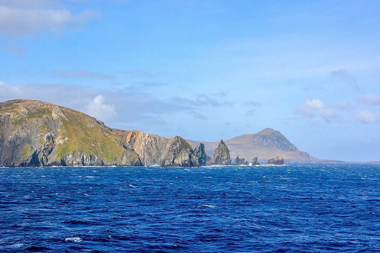
Cape Horn lies at the southern end of the Tierra del Fuego archipelago in Chile, close to the meeting of the Atlantic and Pacific ocean systems. It became an iconic landmark in the era of ocean-going sailing ships.
The essentials
The surrounding waters are exposed to powerful westerly winds, large seas, and complex currents. Before the Panama Canal, rounding the cape could be a dangerous passage for ships traveling between oceans.
What makes this subject distinctive
Cape Horn is not the southernmost point of mainland South America; it is part of an island group. Its fame comes from both geographic position and maritime history rather than from being the continent’s most southerly land in every definition.
Different maps can emphasize different features: a political border, an oceanic boundary, an ecological zone, or a navigational route. A useful explanation specifies which question the map answers instead of assuming every map must draw the same line.
Common misconceptions and limits
Weather and sea conditions change rapidly, so historical reputations cannot substitute for current official marine forecasts or safe navigation procedures.
Geographic terms operate at different scales. A mountain, ocean region, biome, country, and river basin may be shown together on a map, but each follows different conventions. Reliable explanations specify the spatial scale before comparing figures or locations.
Maps require definitions
Different maps can emphasize different features: a political border, an oceanic boundary, an ecological zone, or a navigational route. A useful explanation specifies which question the map answers instead of assuming every map must draw the same line.
Key points at a glance
Cape Horn lies at the southern end of the Tierra del Fuego archipelago in Chile, close to the meeting of the Atlantic and Pacific ocean systems.
The surrounding waters are exposed to powerful westerly winds, large seas, and complex currents.
Cape Horn is not the southernmost point of mainland South America; it is part of an island group.
Frequently asked questions
What is the key geographic fact?
Cape Horn lies at the southern end of the Tierra del Fuego archipelago in Chile, close to the meeting of the Atlantic and Pacific ocean systems.
Why is the setting important?
The surrounding waters are exposed to powerful westerly winds, large seas, and complex currents.
What definition or measurement needs care?
Weather and sea conditions change rapidly, so historical reputations cannot substitute for current official marine forecasts or safe navigation procedures.
Explore related guides
Natural Landmarks and World Geography: Maps, Landscapes and Formation
